

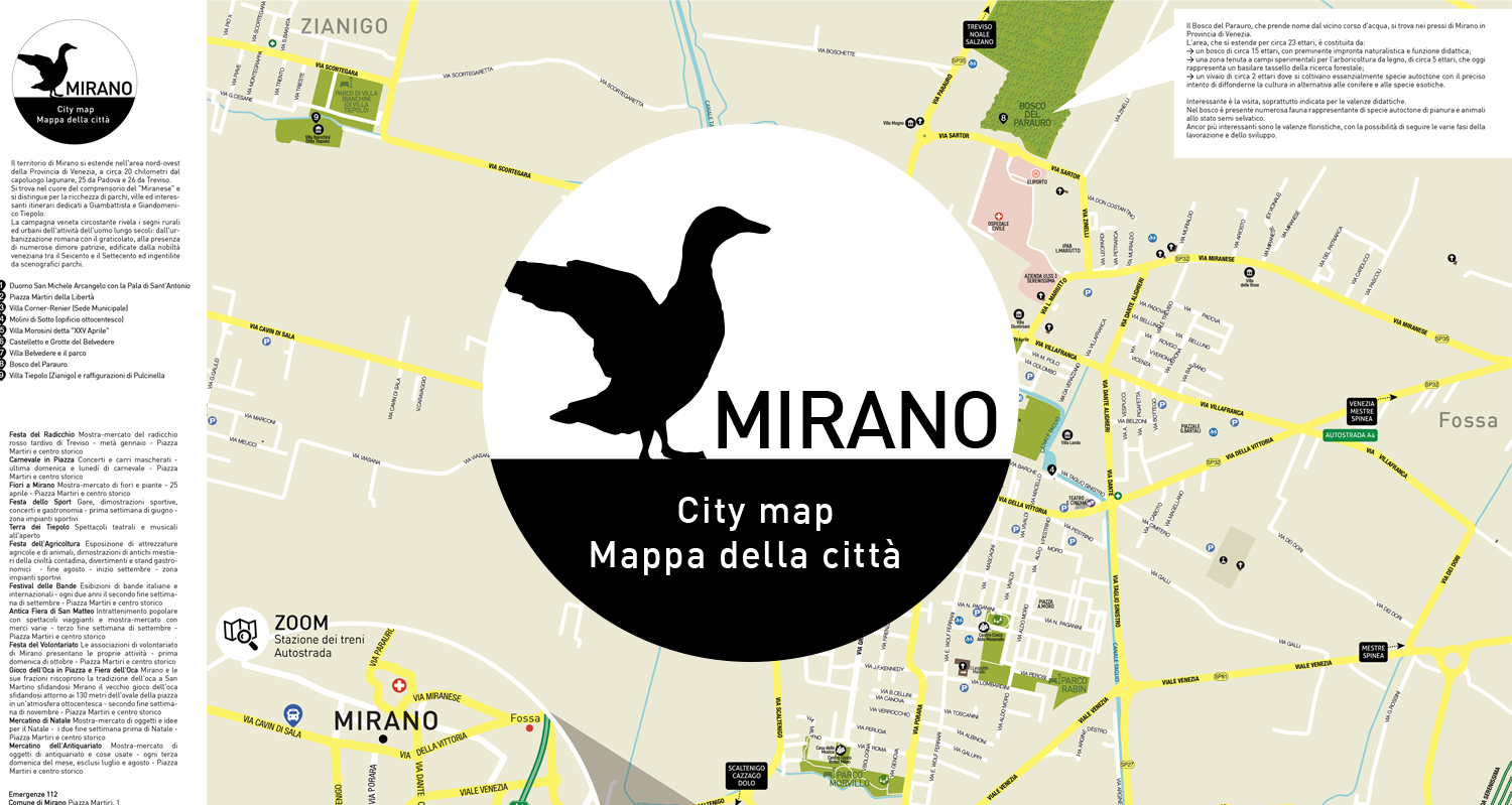
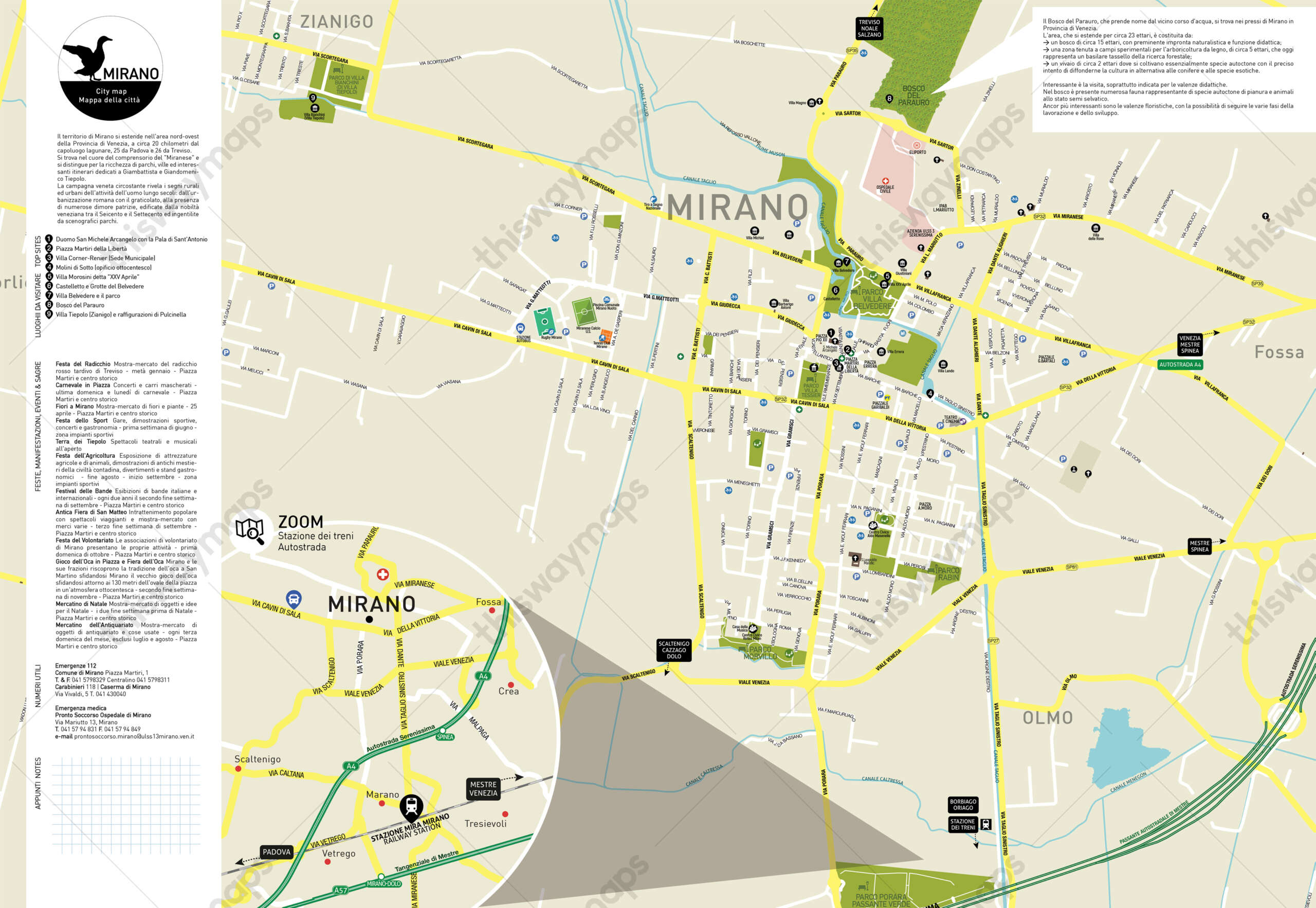
The watermark on the map demonstrates the originality of the document and prevents the distribution of unauthorized copies; it will be removed at the printing stage.
The following information is represented in the map of Mirano:
- Street, park and road names
- Distinction between primary and secondary roads
- Main tourist places and points of interest in the municipality
- Useful phone numbers
- Significant events and festivals for the municipality
The territory of Mirano extends in the northwestern area of the Province of Venice, about 20 kilometers from the lagoon capital, 25 from Padua and 26 from Treviso.
It is located in the heart of the “Miranese” district and is distinguished by a wealth of parks, villas and interesting itineraries dedicated to Giambattista and Giandomenico Tiepolo. The surrounding Venetian countryside reveals the rural and urban signs of man’s activity over centuries: from Roman urbanization with the graticolato, to the presence of numerous patrician residences, built by the Venetian nobility between the 17th and 18th centuries and embellished by scenic parks.
The map shows and locates the following places to visit:
- Cathedral St. Michael the Archangel with the Altarpiece of St. Anthony
- Martyrs of Liberty Square
- Villa Corner-Renier (Municipal Headquarters)
- Molini di Sotto (19th century factory)
- Villa Morosini known as “XXV April”
- Castelletto and Belvedere Caves
- Villa Belvedere and the park
- Parauro forest
- Villa Tiepolo (Zianigo) and depictions of Punchinello