
[vc_row][vc_column icons_position=”left”][vc_single_image image=”4028″ img_size=”large” style=”zoooom”][vc_empty_space height=”4px” hide_on_desktop=”” hide_on_notebook=”” hide_on_tablet=”” hide_on_mobile=””][vc_column_text]The watermark on the map demonstrates the originality of the document and prevents the distribution of unauthorized copies; it will be removed at the printing stage.
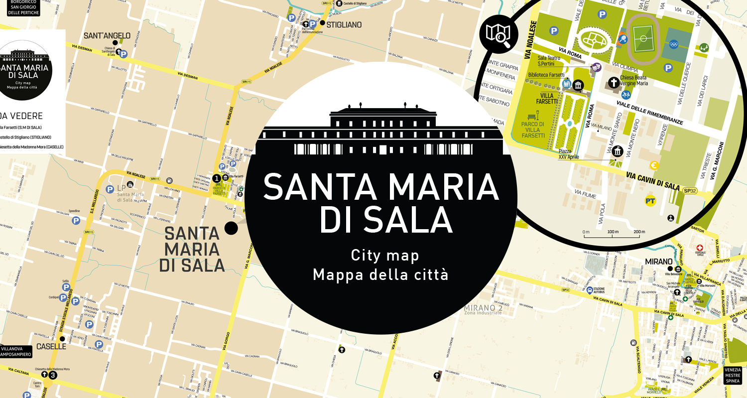
[/vc_column_text][vc_empty_space height=”8px” alter_height=”small” hide_on_desktop=”” hide_on_notebook=”” hide_on_tablet=”” hide_on_mobile=””][/vc_column][/vc_row][vc_row][vc_column icons_position=”left”][vc_column_text]Included in the map of Santa Maria di Sala – Venice are:
- Street and road names
- Distinction between primary and secondary roads
- Main tourist places and points of interest
- Zoom of the downtown area and Villa Farsetti
Santa Maria di Sala is an Italian municipality of 17,617 inhabitants in the metropolitan city of Venice in the Veneto region of Italy. The territory of the municipality is included in the Roman graticolato and is part of the Miranese district.
The municipal capital is located along the ancient Via Miranese, a historic artery connecting Mestre and Padua (locally called “via Cavin di Sala”). In the historic center of S. Maria di Sala, at the so-called “Beccante curve,” the Miranese provincial road (SP 32) flows seamlessly into the former State Road 515 Noalese. [/vc_column_text][vc_empty_space alter_height=”large” hide_on_desktop=”” hide_on_notebook=”” hide_on_tablet=”” hide_on_mobile=””][/vc_column][/vc_row][vc_row][vc_column icons_position=”left”][vc_empty_space height=”5px” alter_height=”medium” hide_on_desktop=”” hide_on_notebook=”” hide_on_tablet=”” hide_on_mobile=””][trx_sc_title title_style=”default” title_tag=”h5″ link_style=”default” title=”Print formats for maps”][vc_empty_space height=”5px” alter_height=”medium” hide_on_desktop=”” hide_on_notebook=”” hide_on_tablet=”” hide_on_mobile=””]