
[vc_row][vc_column icons_position=”left”][vc_single_image image=”3940″ img_size=”large” style=”zoooom”][vc_empty_space height=”4px” hide_on_desktop=”” hide_on_notebook=”” hide_on_tablet=”” hide_on_mobile=””][vc_column_text]The watermark on the map demonstrates the originality of the document and prevents the distribution of unauthorized copies; it will be removed at the printing stage.
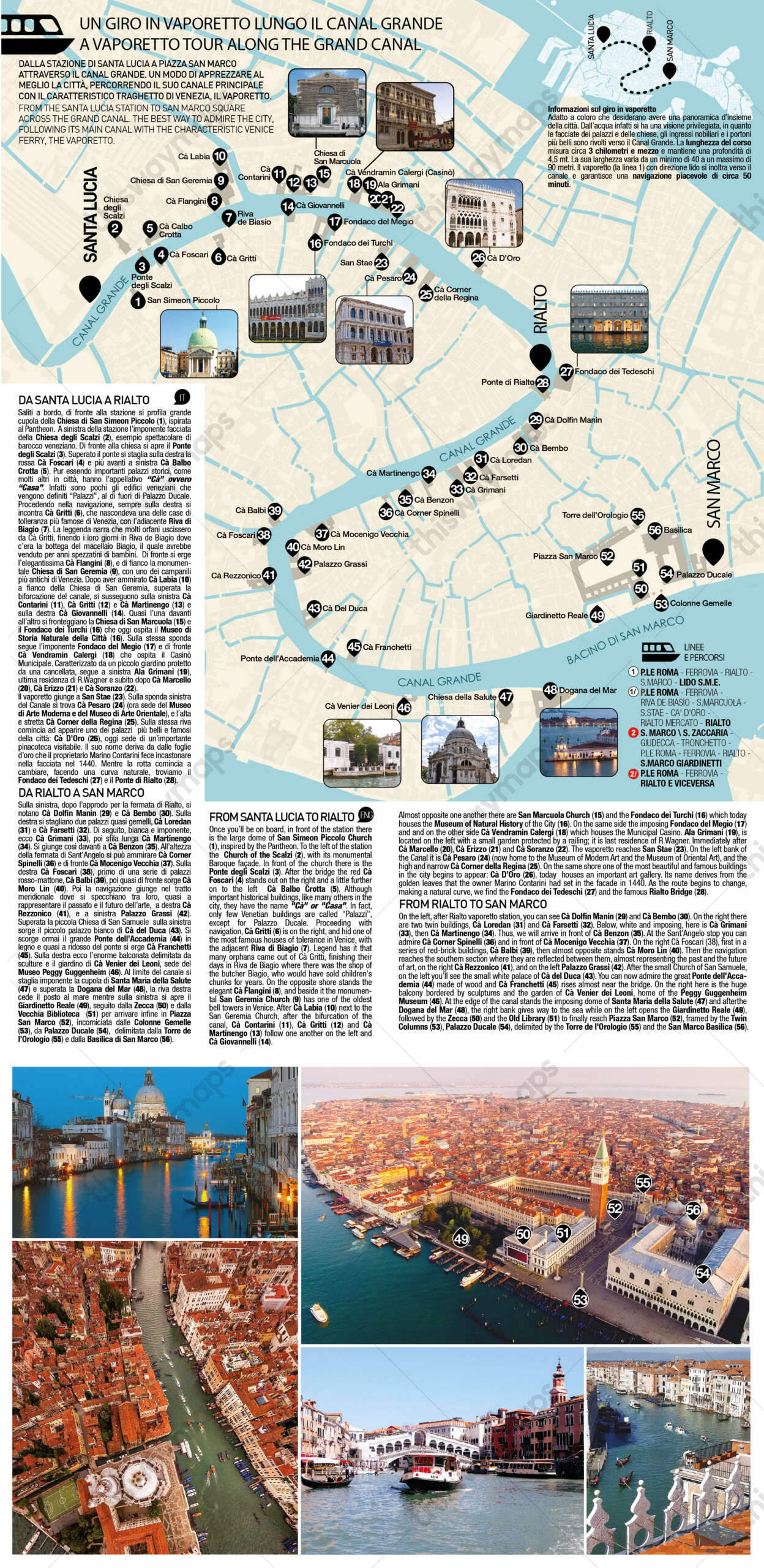
[/vc_column_text][vc_empty_space height=”8px” alter_height=”small” hide_on_desktop=”” hide_on_notebook=”” hide_on_tablet=”” hide_on_mobile=””][/vc_column][/vc_row][vc_row][vc_column icons_position=”left”][vc_column_text]The following information is included in the itinerary infographic:
- Depiction of the Grand Canal from above
- Main palaces and churches visible from the Steamboat
- Photos of the main palaces along the Grand Canal
- Text description of the itinerary in Italian and English
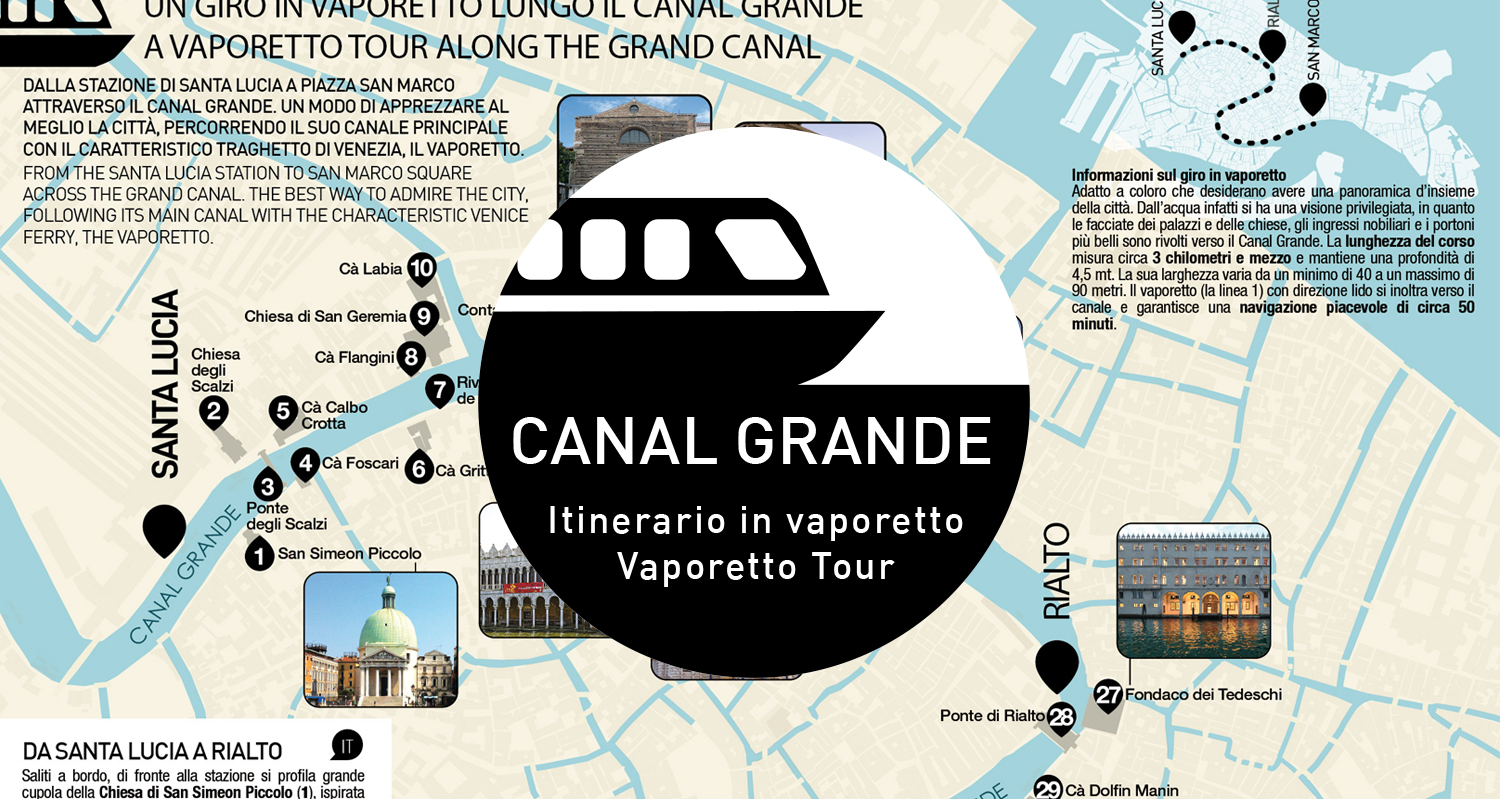
[/vc_column_text][vc_column_text]An itinerary from Santa Lucia station to Piazza San Marco through the Grand Canal.A way to best appreciate the city, traveling along its main canal by Venice’s characteristic ferry, the vaporetto.
This itinerary can be inserted within any thiswaymaps (Venice or islands), in combination with other information such as Alilaguna or an island map. One can freely choose where to insert it and how to combine it with other maps in the archive. [/vc_column_text][vc_empty_space alter_height=”large” hide_on_desktop=”” hide_on_notebook=”” hide_on_tablet=”” hide_on_mobile=””][/vc_column][/vc_row][vc_row][vc_column icons_position=”left”][vc_empty_space height=”5px” alter_height=”medium” hide_on_desktop=”” hide_on_notebook=”” hide_on_tablet=”” hide_on_mobile=””][trx_sc_title title_style=”default” title_tag=”h5″ link_style=”default” title=”Print formats for maps”][vc_empty_space height=”5px” alter_height=”medium” hide_on_desktop=”” hide_on_notebook=”” hide_on_tablet=”” hide_on_mobile=””]